Ice That Carves Mountains — Glacial Landforms and Moraines
A glacier moves so slowly you'd never see it happen — yet it can carve a valley wide and deep enough to hold a lake.
A river valley is shaped like a narrow V when you look at it in cross-section. A glacier-carved valley is shaped like a wide U. Before reading on, what do you think a glacier does differently from a river that would carve such a different shape?
A glacier is, quite literally, a river made of ice. In a place cold enough or high enough — the Himalaya, say — more snow falls each year than melts away, so it piles up, winter on winter, until its own weight crushes the buried layers into dense ice. Then, still under that enormous weight, the whole mass begins to flow downhill — unbelievably slowly, often just centimetres to a few metres a day. But ice is heavy and studded with frozen-in rock, so a glacier doesn't trickle like water; it grinds, scouring the land beneath it like a sheet of sandpaper the size of a valley.
That grinding carves a distinctive set of landforms. A glacier widens and deepens a valley into a broad U-shape (a river cuts a narrow V; ice bulldozes a U). At its head it scoops out a bowl-shaped hollow called a cirque. Where two glaciers grind along either side of a ridge, they sharpen it into a knife-edge arête. A small side glacier can be left perched high above the main valley — a hanging valley, often with a waterfall spilling from its lip. And when the sea later floods a deep glacial valley, it becomes a fjord, one of those dramatic steep-walled ocean inlets.
None of this is just scenery. U-shaped valleys and cirques draw trekkers, skiers and mountaineers; fjords make superb natural harbours and fishing grounds; and the glaciers themselves are frozen reservoirs, slowly feeding the rivers that millions of people downstream depend on for water.
Moraines — What Glaciers Leave Behind
A glacier doesn't only carve — it also carries. Every scrap of rock and grit it scrapes up rides along, frozen inside and beneath the ice, until the glacier melts and dumps it in a heap. That dumped mix — geologists call it till — piles into ridges called moraines, and where a moraine sits tells you exactly where the ice once was. A lateral moraine runs along a glacier's side, built from rubble that tumbled onto its edges. A terminal moraine sits at its snout, marking the furthest point the ice ever reached before retreating. And a medial moraine runs down the middle, formed when two glaciers merge and their inner side-ridges fuse into one. These ridges are far from useless leftovers: moraine debris can weather into fertile soil, and a terminal moraine can even dam a valley to hold back a lake — useful for water and power, but, as you'll see later in this chapter, sometimes dangerous too.
A geologist finds a ridge of deposited rock and debris running right down the exact middle of a valley where two glaciers used to merge. Which type of moraine has she most likely found?
The Quest Continues
In February 2021, a sudden flood struck Chamoli district in Uttarakhand, damaging buildings, roads, bridges and hydel projects, and cutting off villages — with no unusual storm to blame. Investigators are still studying exactly how ice, rock and meltwater combined that day, the kind of glacier-linked disaster this page's moraines help explain, but that scientists are still working to predict early enough to save lives.
Three Signals Before the Flood
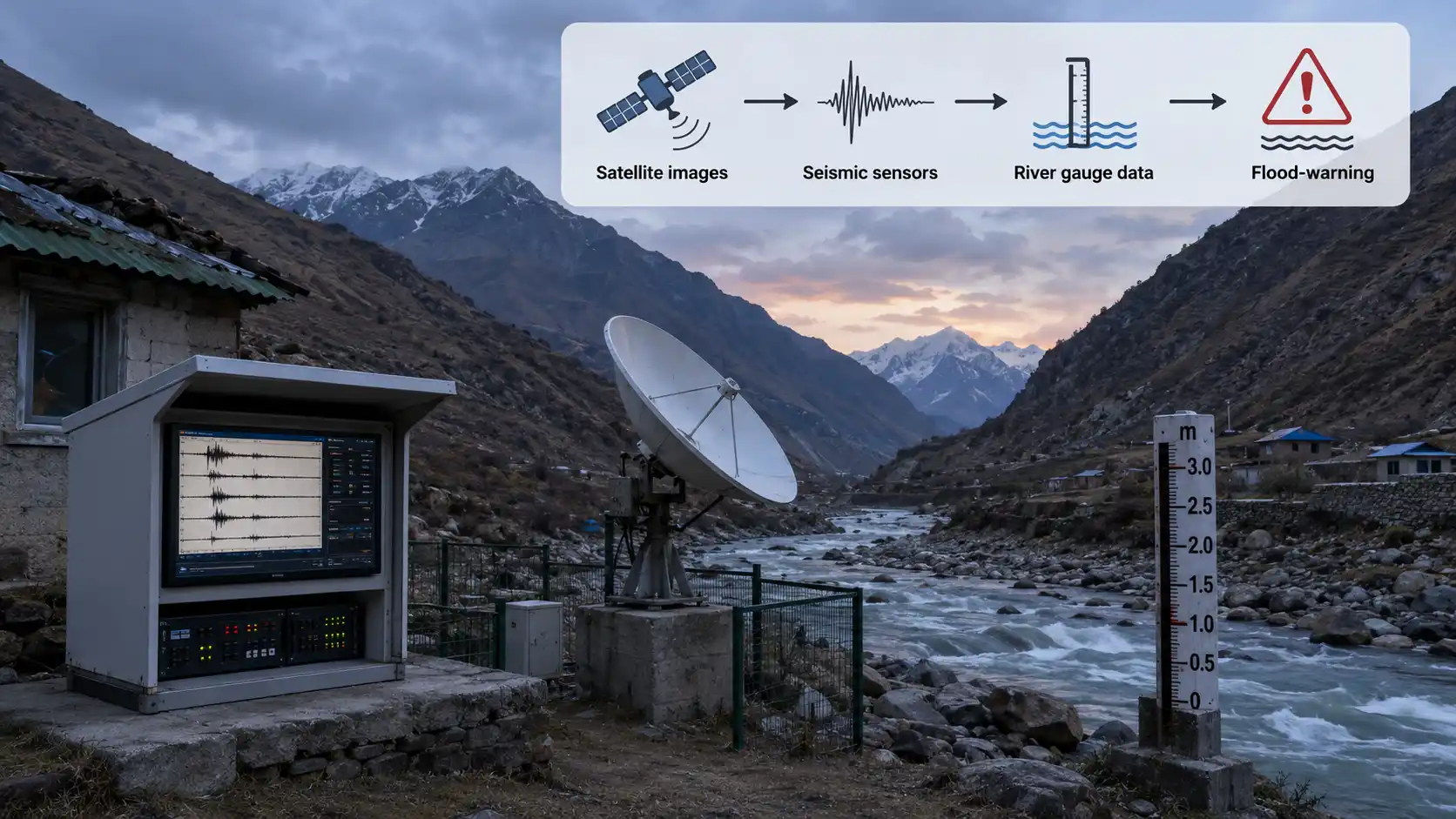
Scientists studying the Chamoli disaster pieced together what happened using several kinds of evidence, gathered after the flood had already struck:
Look again at the three signals. The satellite images (Signal 1) are the most direct visual proof of what broke away, but satellites only pass over a given spot occasionally — they might not catch an event in its first minutes. The seismic vibration (Signal 2) is detected instantly and monitored constantly — but on its own, it can't tell scientists whether the vibration was an earthquake, a landslide, or something else. The river gauge spike (Signal 3) is the most directly dangerous signal for people downstream, but by the time water levels spike, the flood is already arriving. Based on this, what's the strongest approach for detecting a disaster like this early?
Take a moment to form your answer before reading further.
Q1.What shape is a valley typically carved by a glacier?
A river valley is shaped like a narrow V when you look at it in cross-section. A glacier-carved valley is shaped like a wide U. Before reading on, what do you think a glacier does differently from a river that would carve such a different shape?
A glacier is, quite literally, a river made of ice. In a place cold enough or high enough — the Himalaya, say — more snow falls each year than melts away, so it piles up, winter on winter, until its own weight crushes the buried layers into dense ice. Then, still under that enormous weight, the whole mass begins to flow downhill — unbelievably slowly, often just centimetres to a few metres a day. But ice is heavy and studded with frozen-in rock, so a glacier doesn't trickle like water; it grinds, scouring the land beneath it like a sheet of sandpaper the size of a valley.
That grinding carves a distinctive set of landforms. A glacier widens and deepens a valley into a broad U-shape (a river cuts a narrow V; ice bulldozes a U). At its head it scoops out a bowl-shaped hollow called a cirque. Where two glaciers grind along either side of a ridge, they sharpen it into a knife-edge arête. A small side glacier can be left perched high above the main valley — a hanging valley, often with a waterfall spilling from its lip. And when the sea later floods a deep glacial valley, it becomes a fjord, one of those dramatic steep-walled ocean inlets.
None of this is just scenery. U-shaped valleys and cirques draw trekkers, skiers and mountaineers; fjords make superb natural harbours and fishing grounds; and the glaciers themselves are frozen reservoirs, slowly feeding the rivers that millions of people downstream depend on for water.
Moraines — What Glaciers Leave Behind
A glacier doesn't only carve — it also carries. Every scrap of rock and grit it scrapes up rides along, frozen inside and beneath the ice, until the glacier melts and dumps it in a heap. That dumped mix — geologists call it till — piles into ridges called moraines, and where a moraine sits tells you exactly where the ice once was. A lateral moraine runs along a glacier's side, built from rubble that tumbled onto its edges. A terminal moraine sits at its snout, marking the furthest point the ice ever reached before retreating. And a medial moraine runs down the middle, formed when two glaciers merge and their inner side-ridges fuse into one. These ridges are far from useless leftovers: moraine debris can weather into fertile soil, and a terminal moraine can even dam a valley to hold back a lake — useful for water and power, but, as you'll see later in this chapter, sometimes dangerous too.
A geologist finds a ridge of deposited rock and debris running right down the exact middle of a valley where two glaciers used to merge. Which type of moraine has she most likely found?
The Quest Continues
In February 2021, a sudden flood struck Chamoli district in Uttarakhand, damaging buildings, roads, bridges and hydel projects, and cutting off villages — with no unusual storm to blame. Investigators are still studying exactly how ice, rock and meltwater combined that day, the kind of glacier-linked disaster this page's moraines help explain, but that scientists are still working to predict early enough to save lives.
Three Signals Before the Flood
Scientists studying the Chamoli disaster pieced together what happened using several kinds of evidence, gathered after the flood had already struck:
Look again at the three signals. The satellite images (Signal 1) are the most direct visual proof of what broke away, but satellites only pass over a given spot occasionally — they might not catch an event in its first minutes. The seismic vibration (Signal 2) is detected instantly and monitored constantly — but on its own, it can't tell scientists whether the vibration was an earthquake, a landslide, or something else. The river gauge spike (Signal 3) is the most directly dangerous signal for people downstream, but by the time water levels spike, the flood is already arriving. Based on this, what's the strongest approach for detecting a disaster like this early?
Take a moment to form your answer before reading further.
Q1.What shape is a valley typically carved by a glacier?